
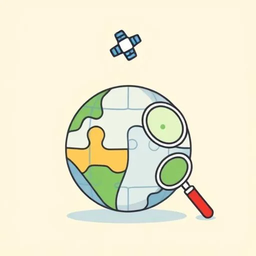
Have you ever been on a walk with your little one on a perfectly clear day, looked up at that vast, blue sky, and they hit you with a question that just stops you in your tracks? Something like, “Can a satellite see me waving?” It’s that pure, unfiltered curiosity that makes being a parent the most incredible adventure. And lately, I’ve been thinking about that exact sense of wonder, sparked by this mind-blowing news from Google DeepMind about a new model called AlphaEarth Foundations. In those moments of questioning, don’t you feel like the whole world suddenly makes more sense? Our children aren’t just curious about the world—they’re showing us how to see it anew through their eyes. This tech is like giving humanity a brand-new pair of glasses to see our world, and WOW, the view is absolutely breathtaking!
What Is Google’s Virtual Satellite and How Does It Work?
So, what is this thing? Imagine trying to piece together a giant, planet-sized puzzle. You have millions of photos from different satellites—some taken on sunny days, some through clouds, some using special radar vision. It’s a jumble! AlphaEarth is like a superhero that swoops in and, in a flash, sees the complete picture. It’s not just stitching photos together; it’s understanding what it’s seeing. Google calls it a ‘virtual satellite’ because it combines all this data to create one unified, super-detailed map of our land and coasts. We’re talking about seeing changes in farmland that are invisible to the naked eye or mapping Antarctica’s tricky terrain with stunning clarity!
Think about it like planning a family trip. You check maps, read reviews, look at photos, and watch videos to get a feel for a place. This tool does something similar but for the entire planet, and with an unbelievable level of detail. It takes terabytes of information and compresses it into something meaningful, revealing patterns from deforestation to water resources. And get this—it does it with a 24% lower error rate than other models tested. WOW – it’s a TOTAL game-changer! Scientists and governments gain this insane ability to make smarter decisions and protect our incredible world. That, right there, is just SO COOL!
How Does AlphaEarth Fuel Kids’ Curiosity and Learning?

OKAY, so it’s incredibly cool for scientists. BUT wait—hold on! How does this SUPER-ADVANCED global map actually connect with our seven-year-olds? Let me tell you—EVERYTHING! This isn’t about sitting them in front of a complex data platform. It’s about what this technology represents. It’s a powerful, tangible reminder that our world is brimming with mysteries just waiting to be uncovered. It’s the ultimate fuel for their “why?” engine!
When my daughter asks why some trees in the park have different colored leaves, my first instinct might be to give her the simple scientific answer. But what if we leaned into the spirit of AlphaEarth? What if we said, “That’s an amazing question! I wonder what this whole park looks like from way up high? I wonder if a satellite could see the different colors, too?” Suddenly, a simple question explodes into a universe of possibilities. It shifts the dynamic from me having all the answers to us being co-explorers on a grand adventure of discovery.
This technology proves that there’s ALWAYS a new way to look at something familiar—what if we treated everyday questions like AlphaEarth treats satellite data? Try asking ‘What else could this tell us?’ next time your child asks something—it might just EXPLODE into a whole universe of discovery! It can see through clouds in Ecuador to map agricultural plots! Sometimes I think Korean BBQ and Canadian maple syrup have more in common than we think—both represent a perfect blend of different elements, just like how AlphaEarth blends satellite data into one beautiful whole. It’s a beautiful metaphor for parenting, isn’t it? We need to help our kids learn to look past the obvious, to ask deeper questions, and to believe that there are always incredible things to find if you just know how to look.
Using Virtual Satellite Tech to Inspire Outdoor Family Adventures
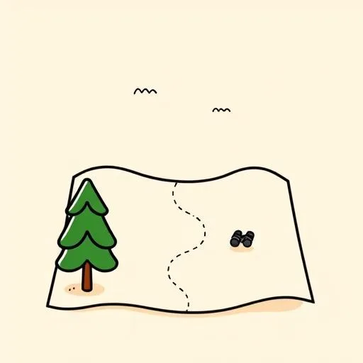
NOW, my first reaction to mind-blowing new tech like this? EXCITEMENT! Instead of the knee-jerk worry about another screen, I see AlphaEarth as an invitation—a call to action to get OUTSIDE. Imagine this Korean proverb: ‘Even after climbing a thousand mountains, there are still more to climb’—AlphaEarth lets us see all at once yet discover endless new details. It’s a powerful tool that shows us the big picture of our planet’s health, from its forests to its water sources, reminding us just how precious it all is. And that’s a lesson that starts in our own backyards.
Why not use this as a spark? We could try creating a super-detailed “explorer’s map” of our own neighborhood. We can’t see groundwater sources like the AI can, but we can mark the big oak tree where the squirrels live, the patch of wildflowers that bees love, and the storm drain that carries water away to the sea. It’s a hands-on way to practice observation, to connect with our immediate environment, and to feel like we’re part of that bigger, interconnected world that AlphaEarth is mapping.
This is how we build not just smart kids, but compassionate ones. Kids who understand that their small corner of the world is a vital piece of a much larger, beautiful, and fragile puzzle. This technology doesn’t replace the feeling of soil on your hands or the smell of pine needles on a trail; it enriches it by giving it context and importance.
Final Thoughts: Nurturing Curiosity in the Next Generation

At the end of the day, technologies like AlphaEarth Foundations are born from human curiosity—that same spark we see in our kids every single day. Here’s the REAL magic—you know what’s cooler than all the high-tech code? It’s that same unstoppable human curiosity that pushes us to understand our planet better! And our most important job as parents is to protect and nurture that very same drive in our children.
So, the next time you’re outside on a clear day and your child looks up at the sky, maybe you’ll think of that virtual satellite, piecing together a portrait of our planet. And you can smile, knowing you’re raising someone who won’t just live in this world but will be curious enough, brave enough, and caring enough to help make it better. That’s why I get so excited about this tech—it’s not just maps we’re creating; it’s invitations to a grand adventure. Because imagine a future where EVERY kid grows up seeing themselves as an explorer of this amazing planet… now THAT’S worth getting excited about! And honestly, what could be more exciting than that?
Source: Google AI Model Uses Virtual Satellite to Map Earth, PYMNTS, 2025/09/06